Welcome to Sextant
a web-based and mobile ready platform
for visualizing, exploring and interacting with time-evolving linked geospatial data


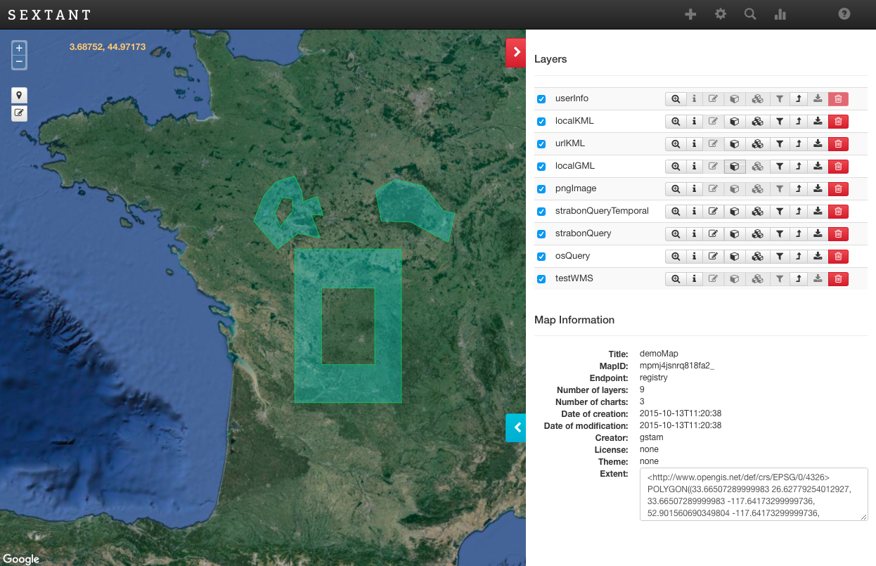
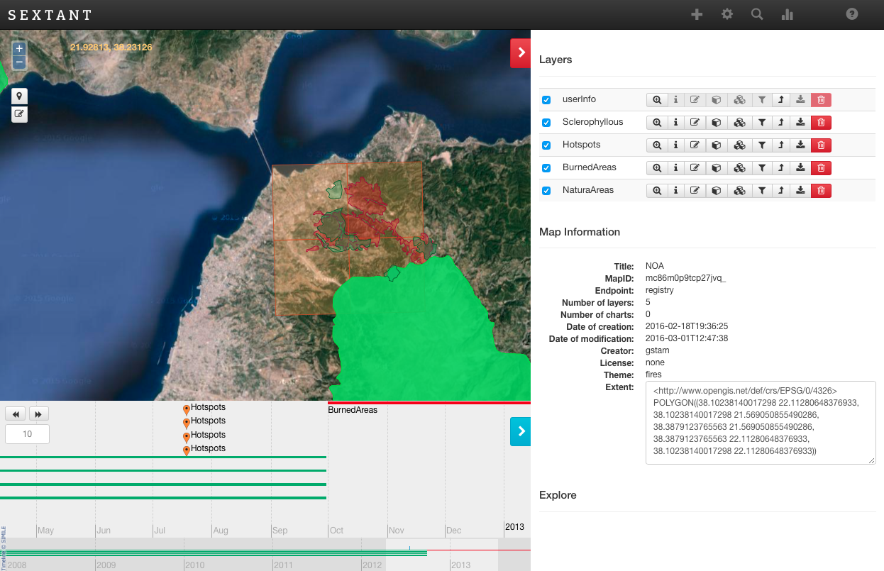
Sextant is a web based and mobile ready platform for visualizing, exploring and interacting with linked geospatial data. The old version of Sextant, was one of the first visualization tools for linked geospatial data but was focused heavily on the use of SPARQL from the end-user. In the new approach, we re-designed and re-implemented Sextant, focused on creating a user-friendly application that would allow both domain experts and non-experts to take advantage of semantic web technologies, and convince them to adopt these technologies by presenting the benefits of the linked open geospatial Web through the use of Sextant.
The core feature of Sextant is the ability to create thematic maps by combining geospatial and temporal information that exists in a number of heterogeneous data sources ranging from standard SPARQL endpoints, to SPARQL endpoints following the standard GeoSPARQL defined by the Open Geospatial Consortium (OGC), or well-adopted geospatial file formats, like KML, GML and GeoTIFF.